MEET GOPILOT,YOUR #1 GeoAI AGENT.
Ask in plain language. GoPilot finds the data, selects the right models, runs the analysis, and gives you the answer.
One platform. 10,000+ datasets. Hundreds of AI models. One natural-language interface.
Applied GeoAI for real-world challenges.
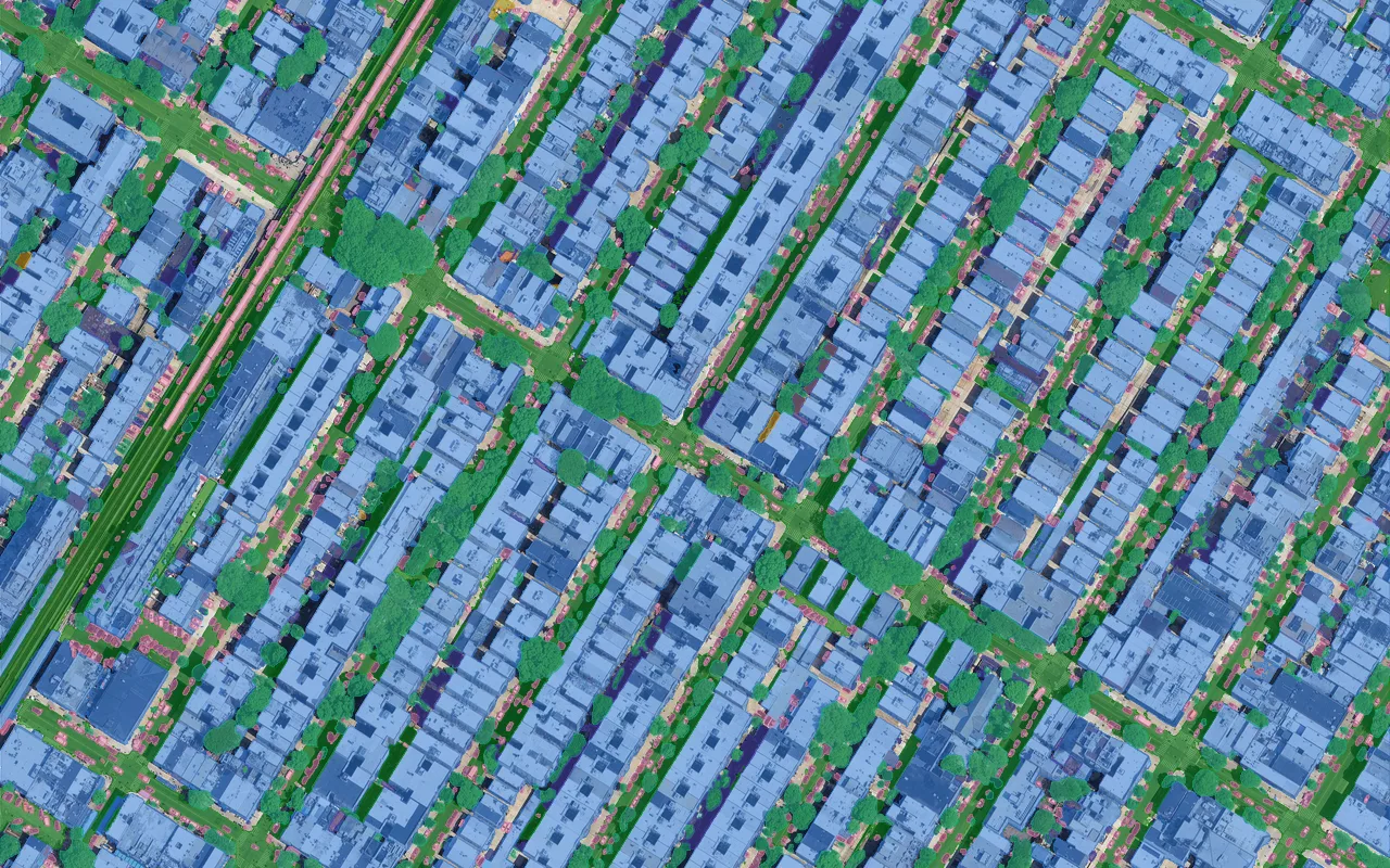
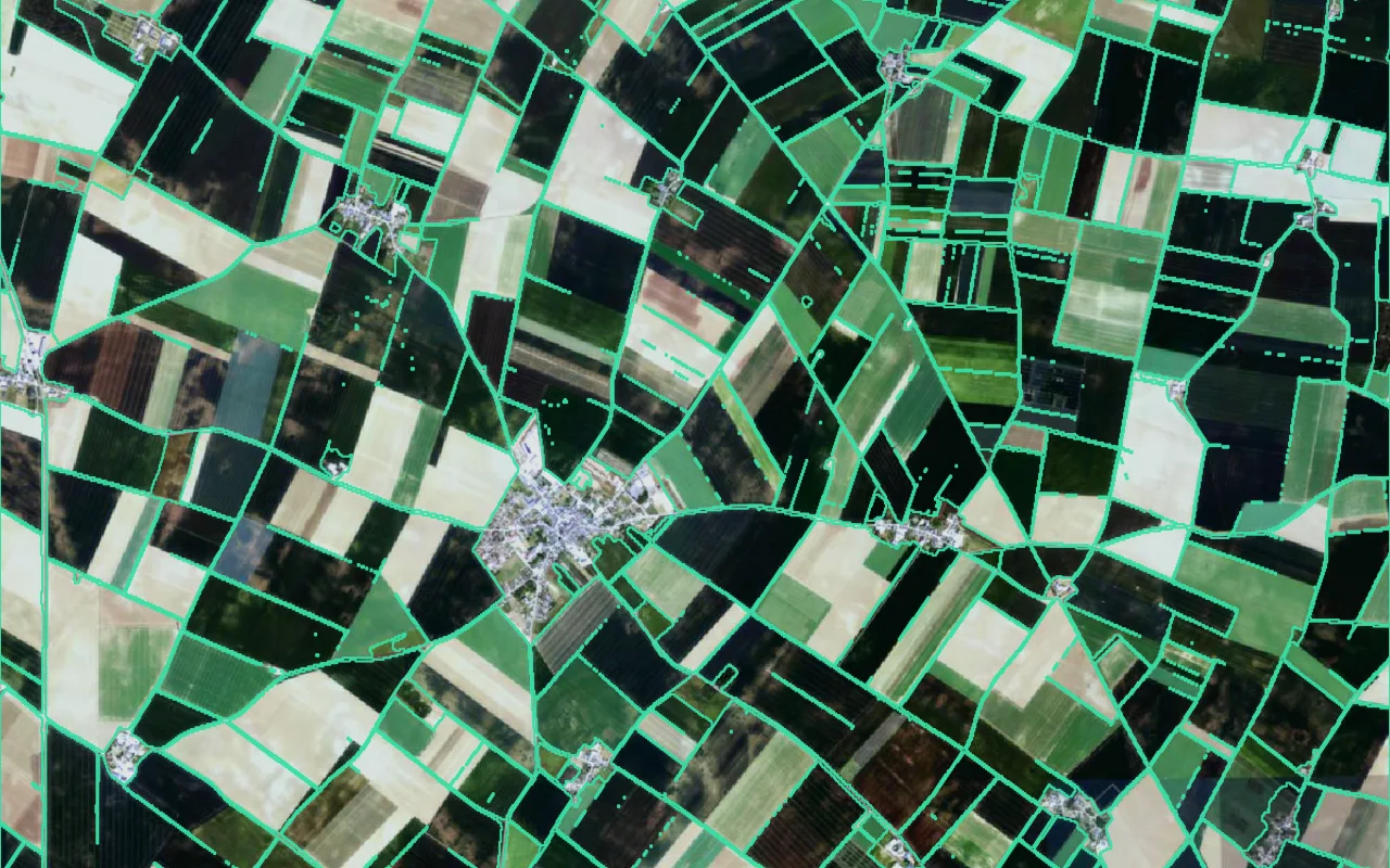
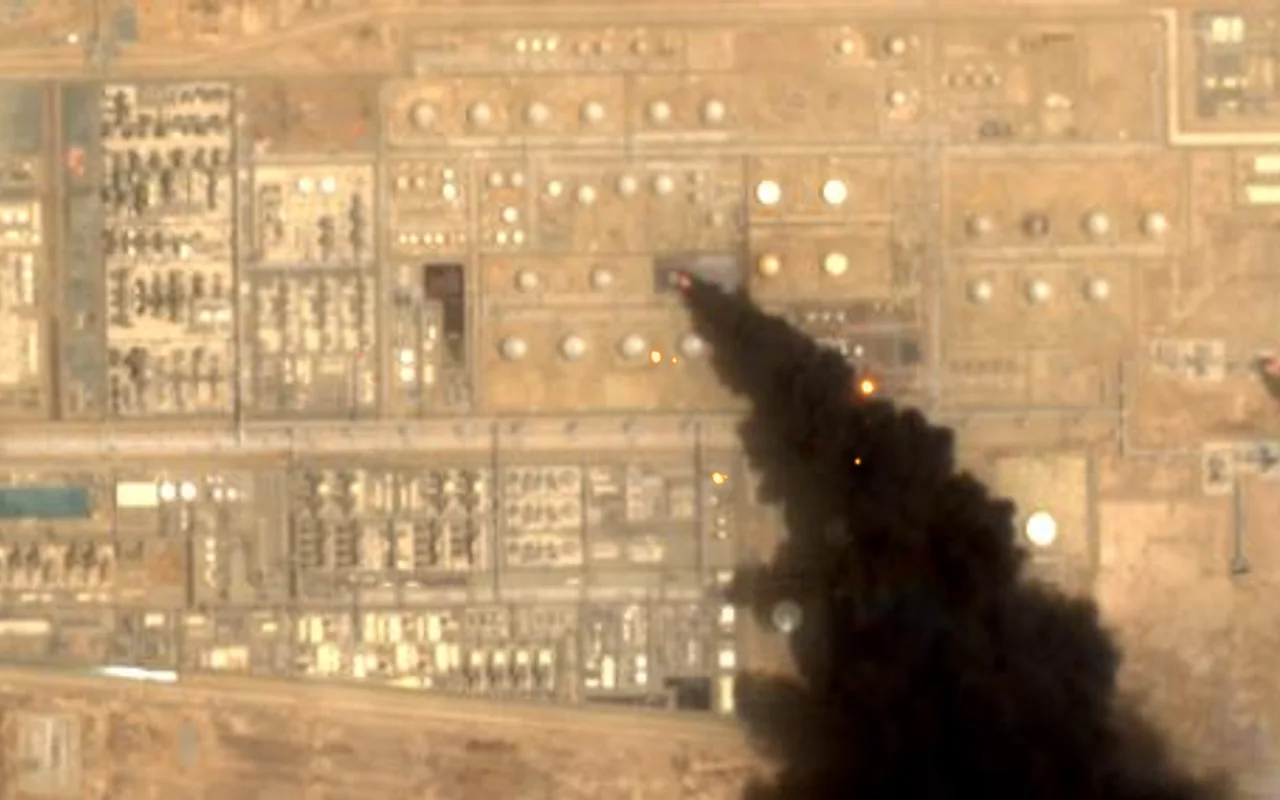
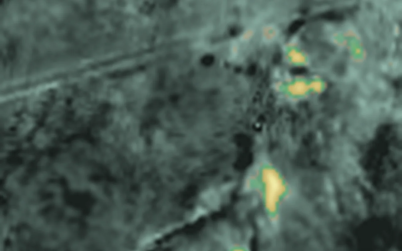
RASID works with organizations to turn Earth observation data into actionable intelligence. We build and deploy solutions tailored to specific operational needs.

Start free. Scale when you need to.
Explore GoPilot and run your first analyses.
- Basic datasets
- Basic AI models
- Export Raster and Vector results
- Session History Management
- Storage 1 GB
For analysts running recurring geospatial work.
- Pro datasets
- Pro AI models
- Dashboard
- GoBox
- QGIS Plugin
- Storage 100 GB
- Personal license
- 1 named user
For organizations scaling geospatial intelligence.
- Premium datasets
- Premium AI models
- ArcGIS Pro Add-in
- Storage 1 TB
- Priority email support
- Commercial license
- 1 named user
For organizations with custom deployment needs.
- MCP connector for AI agents
- Custom on-prem installation
- Custom Cloud installation
- Dedicated account manager
Tokens are used across GoPilot, GoBox, and RASID's MCP / API services.
The people behind RASID.
Geospatial scientists, ML engineers and GIS specialists building the interface to Earth.





Built for real-world geospatial AI.
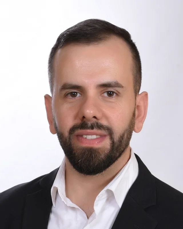
What impressed me about RASID is their ability to bring together Earth observation, geospatial technologies, and AI into practical solutions. GoPilot is a strong example of this, combining advanced AI with geospatial data and tools to simplify complex analysis. It has been exciting to see the team develop this capability and we look forward to seeing what they build next.
I was impressed by GoPilot’s detailed reasoning and its ability to autonomously adapt its workflow to complex geospatial queries. It successfully produced the requested raster and vector outputs, and its capabilities stood out compared with other geospatial AI systems I have tested.
A lot of the work behind RASID’s success happens behind the scenes, but the results are clear to see. The team has put in a tremendous amount of work to turn their vision into a working product, and GoPilot is a great example of what they have achieved. We are happy at AWS to have contributed to this success.
Using GoPilot gave me a different perspective on how geospatial analysis can be approached. I was particularly interested in exploring how it could be applied to different challenges across the Arab region, and I see significant potential for developing practical use cases around the needs of the region.
Built with leading organizations.










Let’s talk.
Book a call and we’ll show you what GoPilot can do with your data or reach us directly.
47 rue Vivienne75002 ParisFrance
Badaro Building 4961, 3rd FloorBadaro Street, Al MathafBeirut 1100Lebanon