One engine. Three ways to use it.
GoPilot is the agent, GoServers is the API, and our plugins live inside the GIS tools you already use, all powered by the same RASID models and imagery.
Build with RASID.
GoPilot's geospatial capabilities are exposed over MCP through four GoServers. Fetch data, run vector operations, analyse rasters and time series, and run AI models. Orchestrated by GoPilot, or called directly from your own code.
Discover and retrieve from 10,000+ datasets: imagery, embeddings, climate and vector data.
- Sentinel-2 L1C / L2A
- Landsat 4–9 Collection 2
- Mapbox & Google tiles
- Copernicus DEM · 30 m
- ERA5 climate reanalysis
- ESA CCI climate variables
- AlphaEarth embeddings
- Esri annual LULC · 10 m
- Microsoft building footprints
- ArcGIS Living Atlas · Source Cooperative
- … and more
Vector operations on GeoJSON, GeoParquet and shapefiles.
- Buffer · true-meter, auto-UTM
- Intersect · union · difference
- Dissolve & merge
- Spatial join
- Crop & filter by attribute
- Geodesic area columns
- Centroids & bounding boxes
- GeoJSON · GeoParquet · CSV
- Vector to instance mask
- … and more
Raster processing, spectral indices, change detection and time-series analysis.
- Spectral indices · NDVI, NDWI, NBR
- Methane index · SBMP, MBSP, MBMP
- Band math & raster algebra
- Thresholding & reclassification
- Multi-date change detection
- Phenology · cycles, peaks, growth
- Clip to bbox & band selection
- Stack & collapse bands
- Rescale, cast & PNG preview
- … and more
Run RASID's geospatial AI models on imagery.
- Scene parsing · open vocabulary
- Field delineation
- Solar panel segmentation
- Tree crown & palm detection
- Cloud & shadow detection
- Methane plume detection
- Banana TR4 disease detection
- Wheat crop classification
- DINOv3 embeddings + PCA
- … and more
Enterprise customers consume the same capabilities through direct MCP / API access in their own apps, pipelines and agents.
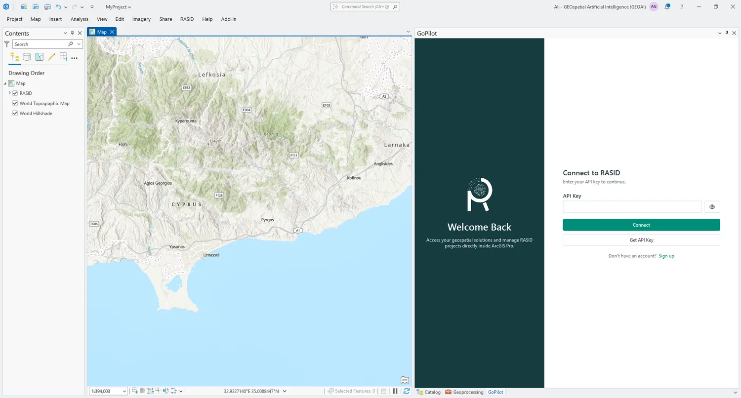
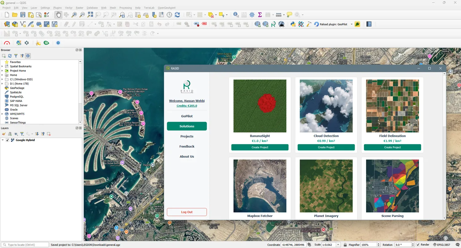
Bring RASID into your workflow.
Use GoPilot and RASID tools directly inside the GIS environments you already use.